This is a video of the borders of European countries over the last 1000 years. (This can be viewed without music)
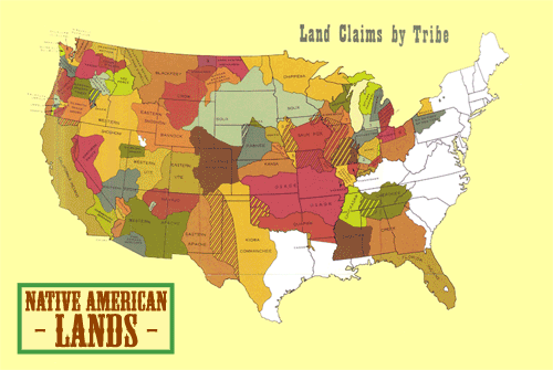
This is a gif image of the amount of land that Native Americans lived in over the last 250 years.
Hot Tamale Activities (email bordner@cityhigh.org)
- How do these images connect to what we are doing in this class? How do these images connect to what you are learning in other classes? How do these images connect to what you have learned before?
- What events led to the borders changing? (To find this answer you should research on Google/Wikipedia)
- Find other images of maps from around the world and at different times and send me the link.
No comments:
Post a Comment